Historic Maps
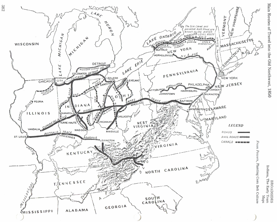
The Buffalo Trace was also known as the Kentucky Road, Harrison’s road, road to Louisville, Vincennes Trace and Buffalo Trail. It was the main route used in southern Indiana for many years. There were other buffalo trails such as the Rome Trace which started at Rome, IN and led northwest about five miles south of Leopold, through Fulda and joined the Yellow Banks Trace. This Trace started at Rockport and ran north and west to join the Buffalo Trace near Otwell, Indiana. All of these early Traces were as well known to early travelers as our interstates are today.

This map in the Indiana Universities Collections shows Indiana in 1836 and displays a different variation of the New Albany turnpike. Part of this route follows what is commonly thought to be buffalo trace. The map was reprinted in 1936.

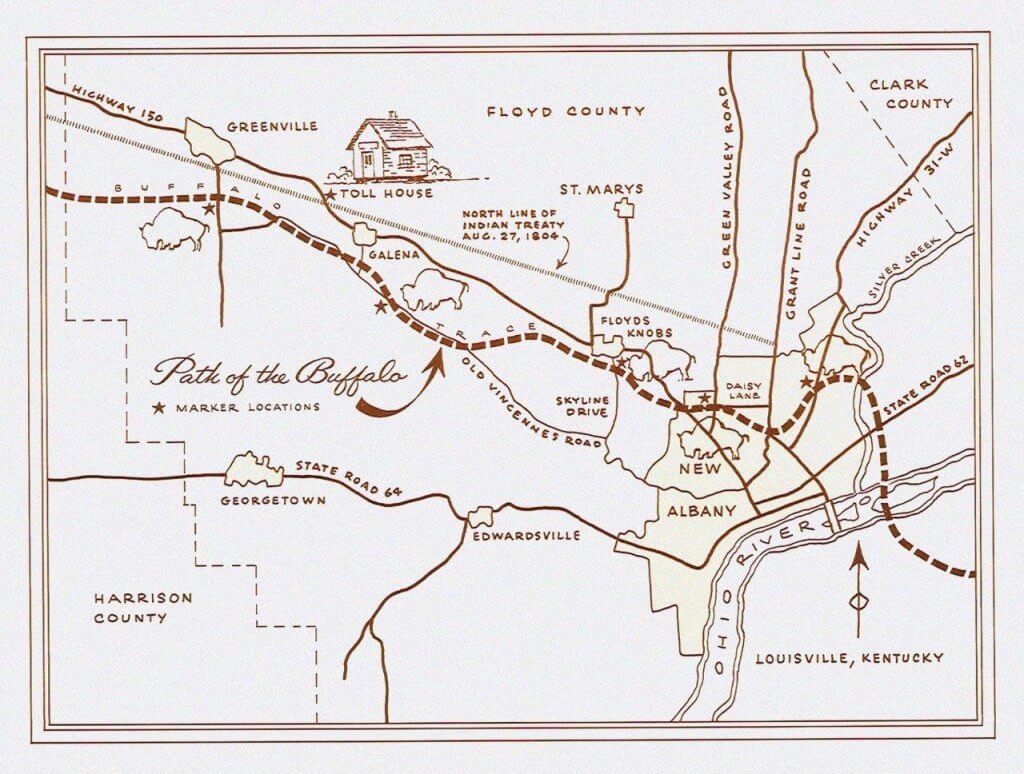
Map showing ancient trails in southern Indiana beginning at the Falls of the Ohio, surveyed and drawn by David J. Ruckman. Shown are the wet weather Buffalo Trace route, William Rector’s 1830 survey of the Buffalo Trace roadway, New Albany-Vincennes Trace, Monan Trail, trails to Charlestown, Madison, and Indianapolis, physical landmarks, the route of modern Highway 62, and the towns of New Albany, Clarksville, Jeffersonville, and Louisville. 2003. Clarksville Historical Collection, Indiana State Library.


